Published 2026-10-12
Every Live Layer in God's Eye View Explained
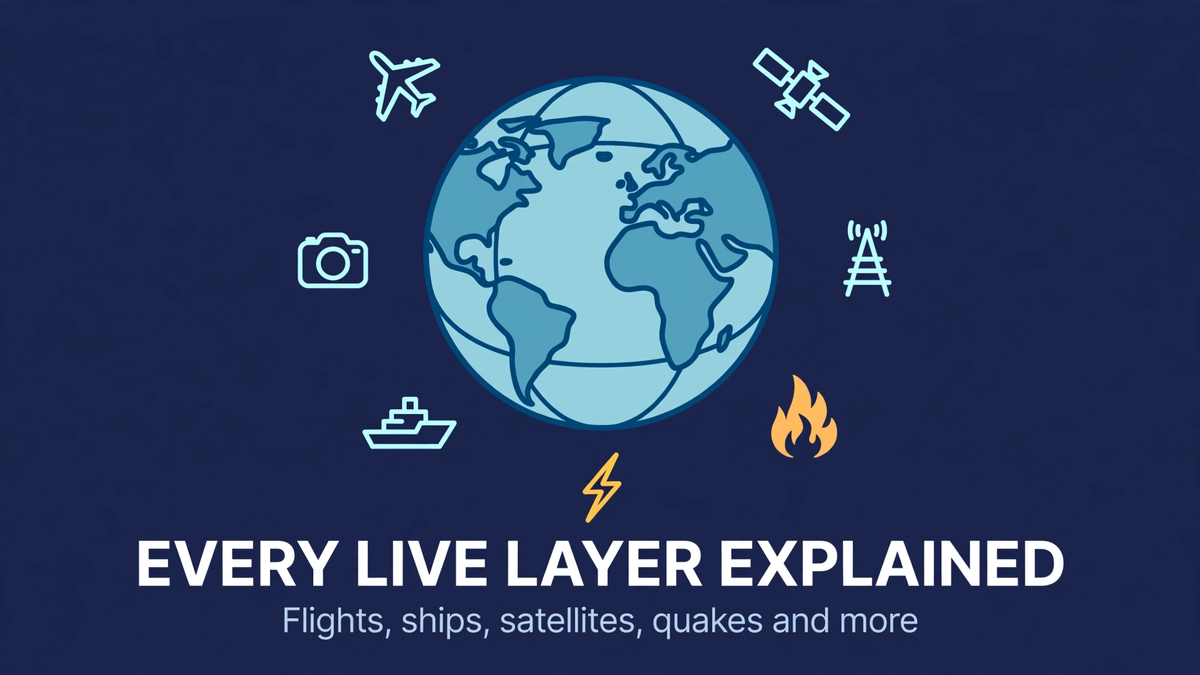
Flights, ships, satellites, earthquakes, CCTV, radio, wildfires and more — what each God's Eye View layer shows, where the data comes from, and which need keys.
God's Eye View ships with a stack of live data layers, each a separate module you can toggle. Here's what each one actually shows, where the data comes from, and which ones need API keys.
Flights (keyless)
Live aircraft positions from OpenSky Network, with adsb.lol as fallback. Every blip is a real transponder broadcast — commercial, private, and cargo. Click one for callsign, altitude, speed, and heading, or ride inside it with the cockpit camera.
Military tracks (keyless)
ADS-B military traffic via adsb.lol. These are aircraft that choose to broadcast — plenty of military flights run dark, so think of this as the visible fraction, not the full picture.
Ships (AISStream key)
Vessel positions from AIS beacons. Needs an AISStream API key. Once enabled, you get the maritime equivalent of the flight layer — tankers, cargo ships, and passenger vessels moving in real time.
Satellites (keyless)
Orbital positions propagated from CelesTrak two-line elements using SGP4 math. Includes the ISS, Starlink trains, and thousands of other tracked objects. Genuinely mesmerizing to watch the shell of satellites sweep overhead.
Earthquakes (keyless)
USGS live feed. Quakes pop onto the globe as they happen, sized by magnitude. During an active seismic day this layer tells a story all by itself.
Public CCTV (keyless)
Thousands of public cameras — Austin, Caltrans highway cams, TfL London, and more. These are municipal and traffic feeds anyone can view; the app just geolocates them onto the 3D globe. Camera poses are coarse estimates, so treat positions as approximate.
Internet radio (keyless)
Streams from stations worldwide, pinned to their broadcast locations. Spin the globe, click a city, hear what it's hearing. One of the most unexpectedly delightful layers.
Wildfires (FIRMS key)
NASA FIRMS active fire detections. Needs a free NASA FIRMS key. During fire season this turns the globe into a live incident map.
Traffic (simulated, TomTom optional)
Vehicle flow simulated along real OpenStreetMap roads using aggregate location data. A TomTom key makes it richer, but even the base simulation gives the "living city" feel.
Rocket launches (keyless)
Upcoming and recent launches from Launch Library 2, with coarse trajectory estimates. Handy for catching a launch window and watching it on the globe.
Bikeshare (keyless)
Dock statuses from GBFS feeds in supported cities. Niche, but a fun one to toggle in a 3D city view.
Static context layers
Bundled reference data: ~4,300 datacenters, 704 dams, and TeleGeography submarine cables (the cables are CC BY-NC-SA licensed, carved out of the MIT license). These don't move, but they explain why the live stuff moves the way it does.
Sensor modes
Not data, but presentation: FLIR thermal-style and night-vision optics that recolor the globe for the full intelligence aesthetic. Pure cinema — and honestly, half the fun. If the voice side interests you more than the data side, the voice control guide covers the hands-free agent.